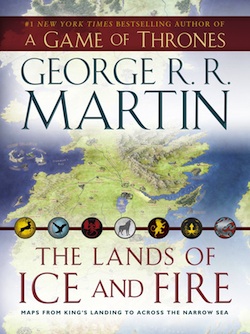
New Song of Ice and Fire map book The Lands of Ice and Fire hits the shelves next Tuesday, October 30th, and Bantam Books has just sent over some exclusive sneak peeks of the new maps that will be featured!
All maps in The Lands of Ice and Fire are new works by illustrator and cartographer Jonathan Roberts, the centerpiece of which is a complete map of the known world, joining the lands of Westeros/the Seven Kingdoms and the lands across the Narrow Sea for the first time in series history.
Bantam wouldn’t reveal that, naturally, but they did give us some intriguing close-ups of never-before-detailed areas to show you!
Click any image to enlarge.
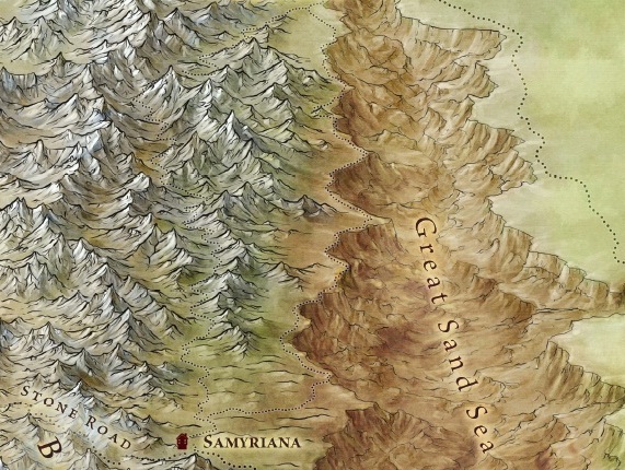
A snippet from “The Dothraki Sea” map:
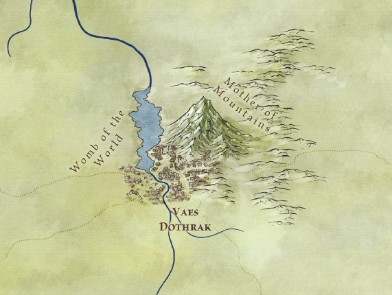
A snippet from “The East” map:
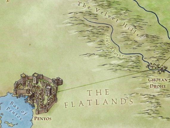
A snippet from the map titled “The Free Cities”:
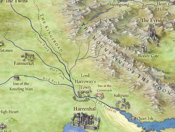
And a snippet from the huge all-in-one Westeros map:
These are just small portions of the many unique maps (all of which are 24“ by 36”) within The Lands of Ice and Fire. There’s also an alternate version that tracks the movements of the series’ protagonists throughout their vast world, along with more detailed versions of the western, middle, and eastern thirds of the world; a full map of Westeros, combining North and South; one of the Dothraki Sea and the Red Wastes; and the Braavos city map.
And here, too, are fan favorites detailing everything from urban sprawl to untamed wilds: maps of King’s Landing; The Wall and Beyond the Wall; the Free Cities; and Slaver’s Bay, Valyria, and Sothyros.
The Lands of Ice and Fire is available from Bantam Books on October 30th. You can check out even more previews of the maps over on io9, including a first-ever peek at The Shadow Lands.
(And you can take a look at lots more fan-made and parody maps in the Related Articles below.)


