


Sometimes getting your head in the past is a rough job, but we all love it anyhow, right? Helpfully, it looks as though Mapping London has the answer for those of you who are keen on getting lost in the past…
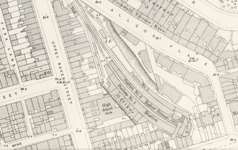
It would seem that the National Library of Scotland’s map department was kind enough to scan in some very old, very high resolution maps that give us an excellent street-view of London from 1893-1896 (when these maps were being made up). Some of these maps are actually more detailed than modern counterparts, and give you a great idea of how 19th century London was laid out.
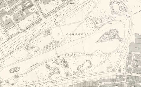
Check out the interactive maps (laid over their modern counterparts), and go exploring! There this is literally hours of historical fun at the click of a button. We might cry.
Amazingly amazing.
I’ve never been to London, but as a NorCal boy, I’d love to see maps like this of San Francisco. Like, say, in 1870, when the city was more than just an upjumped gold mining boomtown, but not quite the place it was today.